James' latest Sail and Oar Adventure ( Part 1)
 Anacortes to Port Townsend by Sail & Oar--the long way around
Back from the tropics, and with time set aside to attend the 39th annual Port Townsend Wooden Boat Festival, I decided to take Rowan there on her own bottom again, this time with the mission of coloring in a bit more of the map of the Salish Sea that I hadn't gotten around to yet. Oh, I had been to to several of these places before for short trips at one time or another, but I had never linked them all together at once like this.
I'd been from Anacortes to Port Townsend across the Straits (Sorry, just text left. Picture links all dead from the great Webshots massacre of aught-twelve)
And I've also done the voyage from Olympia up to PT along with Yeadon and Hvalsoe a couple of years ago.
This time, my plan was to see the other side of Whidbey Island, down around the south end and back up again. And since Tim was still furiously working on getting his new boat ready to launch, he wasn't ready or able to come along for the first four fifths of the trip. No matter, we made plans to meet up on tuesday or wednesday somewhere nearer to Port Townsend.
This is what my route looked like from orbit:

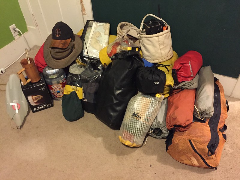
Nine days total of living aboard my little boat, nine days worth of gear right here. I had everything already packed by wednesday of that week.
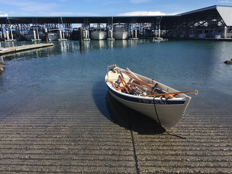
With the constraints of specific go/no-go gates I needed to get through on a specific tidal current flow and direction, I needed to get a nice and early start on Saturday morning. I am lucky to live only about three blocks away from a lovely marina with a harbormaster who is my friend. So I snuck out at lunchtime Friday and put her in the water so I wouldn't have to launch in the dark. Yes, this is that exact same ramp where that 10 million dollar yacht capsized on launching day.
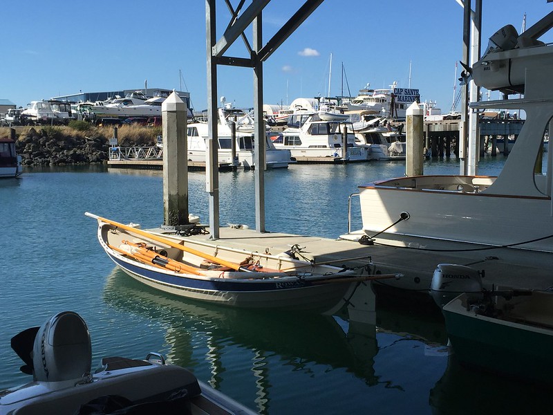
And I left her tied up waiting while I went back to work. That was a long, slow afternoon, I tell ya! Pretty fun to have your rowboat surrounded by millions of dollars of yachts though, and to know you wouldn't rather be doing this trip in any one of them.
DAY ONE
In the morning, I put on my boots and walked down to the marina. No parking fees when you can leave your car and trailer parked in your own driveway! There was a bit of high fog, but as I was going to have to hug the shore of Guemes Channel to try and find some back-eddy anyways, I wasn't too worried about it. Here's Cap Sante just after sunrise:
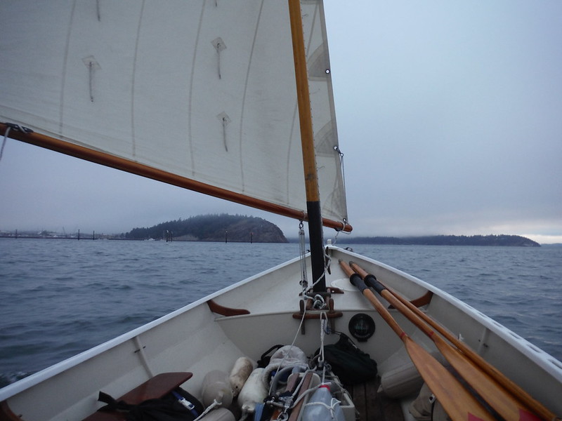
Of course the best laid plans go oft awry, and there were a pair of big tugs getting ready to pull a big guy off the dock when I got to the channel. A quick hail on the VHF gave me the go-ahead to proceed on past though, as they were still half an hour away from casting off.
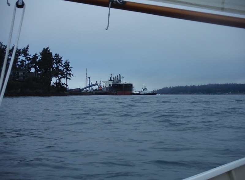
Oh well, there's an eddy--or at least a slackening of the current--on the Guemes Island side too, and the wind was favorable anyways. Here's the Guemes Ferry landing.
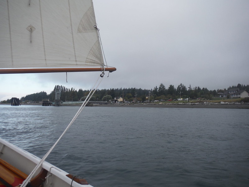
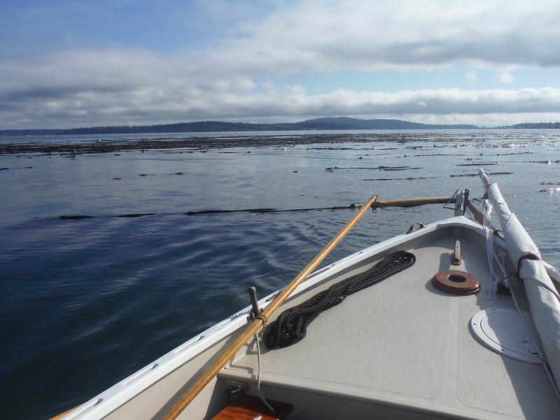
But the sky was lightening, and with it went all traces of the morning breeze. By the time I got to Shannon Point, it was glassy rowing. There can be a nice back-eddy there if you tuck close in and have a shallow-draft boat, though, as you can see here in the kelp forest. The main channel was blasting a good 2+ kts in the wrong direction, but here in the bight I had maybe half a knot behind me to slip along in.
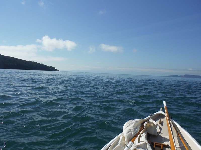
Rosario Strait itself was in one of those long, drawn out transitions it sometimes does, as it changes from flooding to ebbing sooner along the one shore than the other. Here's a nice little tide rip from where the outflow between Fidalgo and Burrows meets the Strait. If you look straight ahead in the distance, you can see where I'd be headed if I was taking the shortcut to Port Townsend, maybe 20 miles away or so in a straight line. . .or as straight as the current patterns will take you, which ain't so very straight at all. At any rate, I was planning on taking a longcut instead of a shortcut anyways, so it was just an interesting glimpse of my eventual destination.
There's a nifty old lighthouse on Allen Island. Plus, the wind was starting to fill in again, this time from the south, out of the Straits
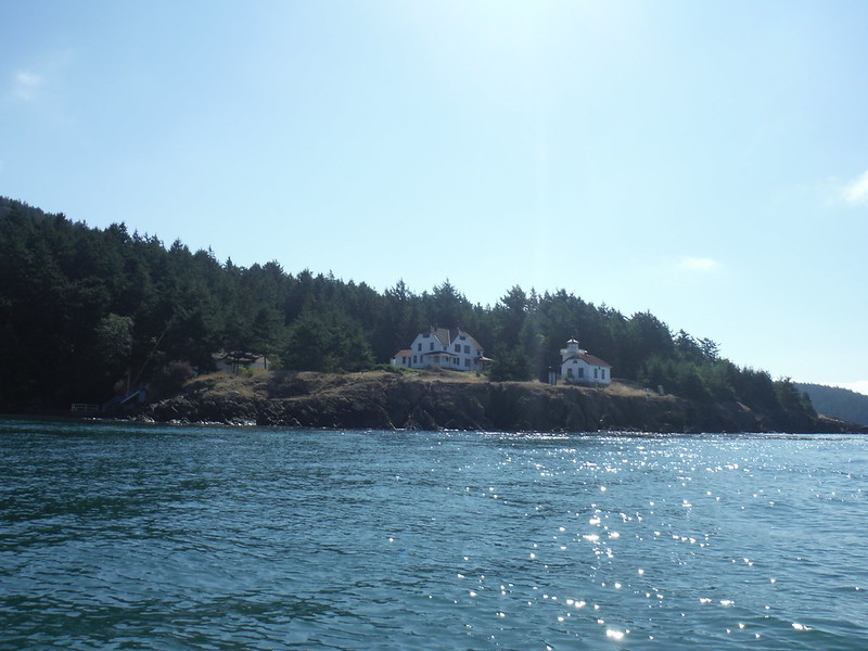
There were a few kayakers crossing the channel between Allan and Burrows as I passed. In the distance you can see Mount Erie, the tallest point on Fidalgo Island. Try to remember that shape, cause you'll see it again in the background here and there.
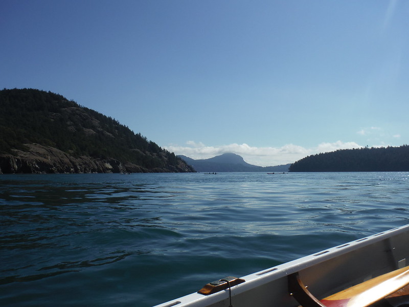
Looking in the background up Rosario Strait you can see from left to right Blakely Island, Orcas Isand (far background) and Cypress Island, some of the taller members of the San Juan chain.
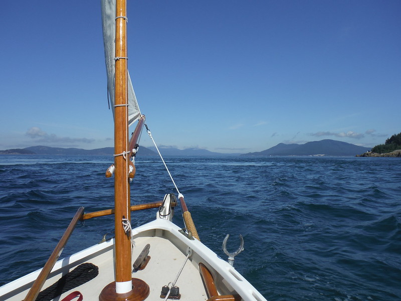
Allan Island has some rocky cliffs along the southwest side which are pretty different from some of the others nearby.
]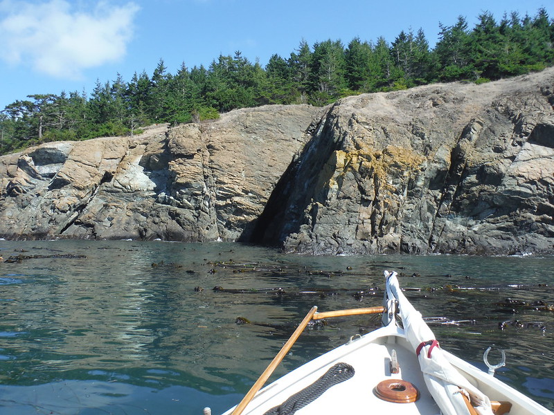
Compare that to the raggedy, jaggedy lava rocks right near Bowman Bay. These are fierce.
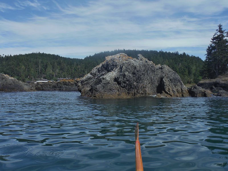
The next challenge for the trip--and a genuine, major hazard to boot--was the dreaded Deception Pass. This mere crack in the cliff walls is the slot through which up to 2 million cubic feet of water per second slosh in and out at speeds that can exceed 8 kts, every tide cycle. In a small boat, timing is simply everything, for you must catch the slack to get up to it at all, and then through before it gets too crazy. I was an hour early for the slack, so I tied up to the dock and went ashore for a bit, had a snack, and updated my last will and testament.
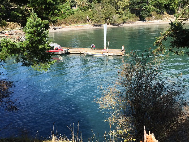
An aerial view of the pass:

This is looking at it from the western side. There's an island in the middle of the Pass, with a narrower, tighter, but even more scenic slot called "Canoe Pass" on the north. Because I still had just a trace of the ebb current in my face out from the little hole, I decided I would have enough control to risk going via the scenic route and took the north passage.
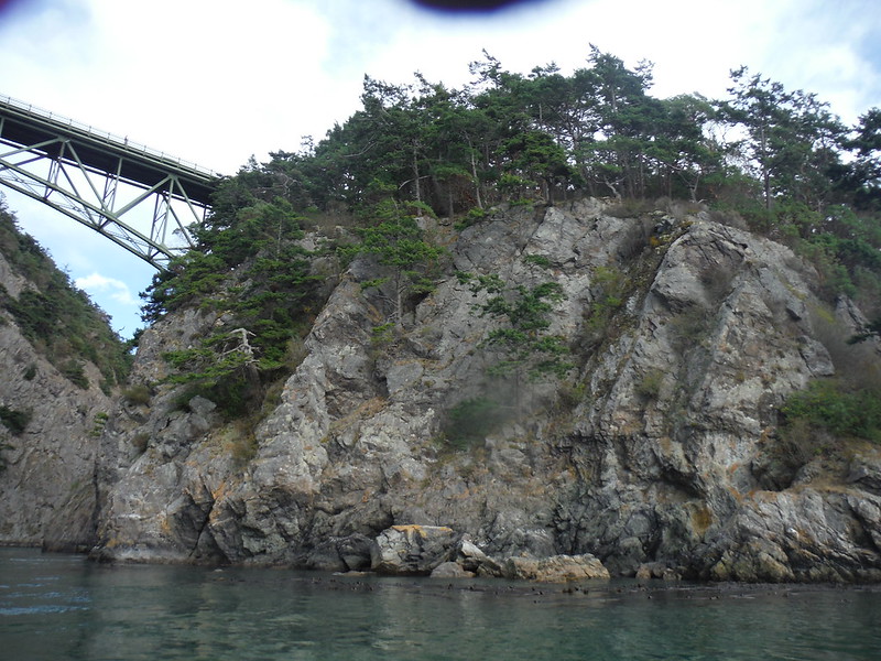
And looking back at the east side. This lil' puppy is genuine Class II+ or worse whitewater once it's really gotten going. There's a walkway on the bridge that is always filled with onlookers peering over the side. It's worth going to see if you're ever in the area. At the slack like this is the only rational time to go through in an open boat.
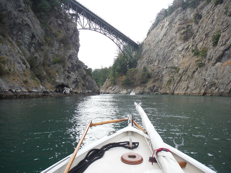
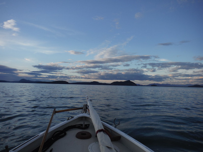
Once into Similk Bay, the wind came up again nicely. Hope Island up ahead was my first potential camp spot. I was hoping to be able to at least make it this far on the first day.
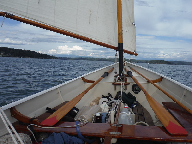
But as I got closer to Hope Island, the wind came stronger and stronger, plus the flood tide was really starting to come in now, picking me up and sweeping me along with an additional boost. I had a couple of hours of daylight left to me, why not make the most of them and get along further south? Skagit Bay shallows out quite a bit, and at Ala Spit, there was a pretty considerable tide rip now forming. I dodged a couple of salmon fishermen in chest waders who were clogging up the eddy and hove to so I could tuck a reef in. With a reef in, things got a little more comfortable, though no less fast-moving, making hullspeed easily on a nice close reach, screaming down the bay.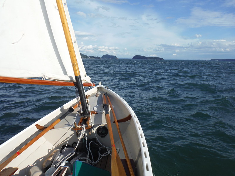 That's the entrance to Swinomish Channel and La Conner over there.
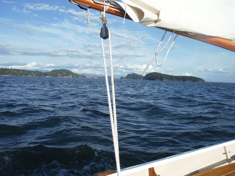 And that tallest bump back yonder is Mount Erie, which we saw from the other side just this morning.
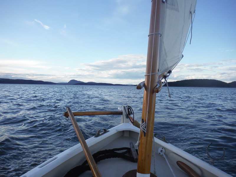 Finally, the wind died down as the sun was setting, and I rowed the last half mile to get over in the lee of the island to find a quiet place to anchor for the night. 30.1 miles on the GPS odometer since setting out at 7:00 am seemed like a fine day's work, and I was perfectly situated just around the corner from any noise, lights or commotion from Oak Harbor. Time to set the hook, set up my tent, and hit the sack.
 Anacortes to Port Townsend by Sail & Oar--the long way around


2 comments:
This is looking at it from the western side. There's an island in the middle of the Pass, with a narrower, tighter, but even more scenic slot called "Canoe Pass" on the north. Because I still had just a trace of the ebb current in my face out from the little hole, I decided I would have enough control to risk going via the scenic route and took the north passage.
Carpentry
Download 16,000 Woodworking Plans & Projects
http://wood.shortcm.li/plans
16,000 Woodworking Plans With Step-By-Step Details, Photos, Materials Lists And More!
Arbor Projects ,
Adirondack Chairs ,
Artwork Display ,
Bathroom Unit ,
Box Designs ,
Billiard/Pool Table ,
Barn Plans ,
Bed Plans ,
Bedside Cabinets ,
Bee Hive Plans ,
Bench Projects ,
Bird Feeders ,
Birdhouse Plans ,
Boat Plans ,
Book Case Plans ,
Baby Changing Table ,
Coat Rack ,
Cabin Plans ,
Cabinet Plans ,
Carport Plans ,
Cart Plans ,
Cat House Plans ,
CD/DVD Holder ,
Cellar Projects ,
Chair Plans ,
Chest Designs ,
Chicken Houses
Childrens Room Plans ,
Clock Plans ,
Coasters ,
Coffee Table Designs ,
Cold Frame Plans ,
Compost Bin ,
Computer Desk ,
Containers ,
Cradle Projects ,
Small Crafts ,
Cutting Board ,
Deck Plans ..
Post a Comment